
𝗪𝗛𝗘𝗡 𝗧𝗘𝗫𝗔𝗦 𝗚𝗔𝗩𝗘 𝗨𝗣 𝗔 𝗤𝗨𝗔𝗥𝗧𝗘𝗥 𝗢𝗙 𝗜𝗧𝗦 𝗟𝗔𝗡𝗗
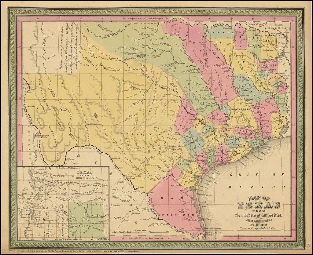
Published in 1852 by Thomas, Cowperthwait & Co. and compiled by J. H. Young, this was the first widely distributed atlas map to show Texas' new boundaries following the Compromise of 1850.
Texas
0
20
5
11.8K
Snapshot History (1)
| Date | ||||
|---|---|---|---|---|
| Jul 15 · 17:00 | 0 | +20 20 | +5 5 | +11.8K 11.8K |
| Jul 13 · 19:11 | 0 | 0 | 0 | 0 |